Welcome to my corner of the ancient world. I'm Jay Penner — bestselling author of historical fiction set in ancient Egypt, Rome, Mesopotamia, and India.
The Hunt for The Death Valley Germans - Companion Reading
In July 1996, a family of four German tourists disappeared into the wilderness of Death Valley. Egbert Rimkus (34), his son Georg Weber (11), Egbert’s girlfriend Cornelia “Conny” Meyer (28), and her son Max Meyer (4), vanished, seemingly into thin air.
Their van was found, three months later, on Monday, October 21, 1996, in a remote location of the national park. An extensive search yielded nothing but a single beer bottle under a bush a mile and half away from the stranded van.
There were many theories as to what happened to them — from an elaborate getaway to start a new life, to being murdered by nefarious elements in the valley.
It took a further thirteen years before a dedicated, meticulous searcher called Tom Mahood finally tracked the case to closure. He then wrote all about it in an engrossing long-form story — the hunt for the death valley germans.
I encourage you to read Tom’s article. However, sometimes if it’s hit by the hug of death by reddit or Medium, you can read this post to get the story, and then go read Tom’s as it’s detailed and meticulously written. The first time I read it, I didn’t quite get an idea of what the group’s journey really was until I spent quite some time on Google maps trying to figure out exact locations and the paths. But I was so fascinated by the story and the search that I thought it might be helpful for other readers to understand it better.
This article is more like a companion or supplement to Tom’s work. I provide a narrative from the point of view of the traveling party to give a sense of the sequence of routes and events, time and distances.
At the end of the article, I provide a Google maps link with locations.
LOCATION KEY
Here are some of the major locations referenced in the story

The blue square is the region where most of the story takes place. You can see furnace creek on top of map and Ashford junction to the right. The orange circle encloses the Striped Butte.

Note: In the narrative below the times are approximate and estimated based on what we know combined with time taken to cover calculated distances
July 22, 1996, 12 PM, Death Valley Visitors Center, Furnace Creek
Egbert and Conny are in a hurry. They have a couple of days before they have to fly back from Los Angeles. Their rental van, a 1996 Plymouth Voyager, 2 wheel-drive, is due July 26th in Los Angeles. Egbert in particular wants to see more of this region before heading back.
The drive from their hotel (Treasure Island in Las Vegas) to here has taken over 2 ½ hours with a couple of rest breaks.
They want to see some of the more popular spots in the region, like Badwater, before driving over to the west side. The side of the Death Valley most visitors never go to.
Conny purchases two copies of a German edition of “Death Valley National Monument Museum Text” and they’re on the road again. Conny does most of the driving on the main roads since Egbert could not produce a driving license at the rental car center. They stop by some of the popular spots on the Badwater road, come back to Furnace Creek later in the afternoon for some rest and planning.
Egbert’s idea is perhaps to drive west through Warm Springs Road on the West Side, Butte Valley, then South via Mengle Pass, and through the abandoned town of Ballarat and eventually to Los Angeles (Driving map here).
This would give them the chance to see some exciting and remote locations, while also providing a shortcut to Los Angeles without having to come back all the way to the main roads before heading to LAX.
They’ve also decided against renting a room in Furnace Creek inn or the hotels nearby as they’re running a little short of money. The plan is to camp overnight. They take inventory of food and drinks and think they have enough for an overnight stay and the day trip ahead. This is America, surely there must be facilities on the way!
Around evening they drive to the West Side to Hanaupah Canyon. It’s a slow drive, the road is not in great shape. It’s about 17 miles from Furnace Creek and another 4 miles off the road from West Side road. It takes them nearly 2 hours.
They set camp for the night with the tent they have. It’s warm even in the evening but it’s manageable. They rest, relax, eat some food, and go to sleep. Tomorrow is going to be a busy day.
The next morning, one of them shoots a picture at Sun rise that is later recognized as from Hanaupah. They are now ready to begin the next leg of the journey. Egbert knows how the temperatures rise, so he asks everyone to be ready to leave early.
7AM, 24th of July 1996
The drive from Hanaupah canyon to the Geologist’s cabin, via Warm Springs Rd, is nearly 50 miles.
But once they turn to Warm Springs Road, the progress is very slow. A 2 WD passenger van not built for this terrain.
They stop at the Warm Springs site, and there is nothing there. They write in the visitor’s log that they are planning to go over the “pass” — presumably the Mengle pass which runs to the south of the Cabin and lets them get to the west through Goler Wash.
They continue on, slowly. The road gets increasingly worse as they get closer to the Butte valley. They finally enter Butte valley and the striped butte. By the time they arrive at the Geologist’s cabin it is probably already noon.

Route from Death Valley Visitor’s center at Furnace Creek to Geologist’s Cabin via Warm Springs Rd
12 PM, 24th July 1996
It is searing hot, around 41C / 105F there (and over 50C / 122F at the valley floor). They take a flag from the cabin as a souvenir, and it is later found in the van.
Egbert then drives south towards Mengel pass. As he gets to the Coyote Canyon road (which becomes the Mengle Pass) he realizes that it is almost impossible to drive through it.
They probably return to the Geologist’s cabin and decide what to do next. It is likely already nearly 1 PM and getting late.
The situation presents them with a dilemma, whether to go all the way back via Warm Springs Road to Furnace Creek, which would surely take them several more hours in the difficult route they came through, or find a faster way back.
The map with him suggests a way through Anvil Canyon, past Willow Spring. What he does not know is this “road” is barely usable. In fact, two years ago the Government had decided that it is illegal to drive on that road anymore. They do not know that, or decide to ignore.
Their discussions likely explored returning through the route they came from would mean losing almost a day. If there was a way to save a few hours that would be crucial, and would them get to Los Angeles late that night without having to pay for a Hotel somewhere in between. This might mean they cannot see some of the planned sites like Ballarat, and perhaps even a glimpse of the South China Lake Military installation, but there’s nothing much they can do.
They may have worried about taking a new route with kids in tow. But any route would be bad either way — whether the old or the new route, and therefore it appears logical to try the new road, which is shorter and would save time, and is shown on the map they have.
They turn the van South East, from Geologist’s cabin, towards Anvil canyon via Willow Spring. The road to Willow Spring seems very straight forward — it is about 1.6 miles and they cover the distance quickly.
Path from Geologist’s Cabin to Mengle Pass and return before heading to Willow Spring

Once they arrive at Willow Spring the road descends into what is mostly a wash. While it looks wide and reasonable to drive, Egbert quickly realizes that the loose gravel and sandy surface makes the driving with his ill equipped van challenging, and risky. After a few minutes in, it dawns on him that it they are pretty much on a one-way route down the Canyon and it would be very difficult to turn back.
Path via Willow Spring

About 2.4 miles from Willow Spring, after 3 tires already blown due to the terrain, near a bend on Anvil Canyon, Egbert makes an error. He turns right at fork when the actual so called road swerves left, and suddenly the van enters a sandy area and becomes stuck.
Van gets stuck in the wash

From Willow Spring to Location of Van’s abandonment

It is now probably around 2 PM, 23 July 1996
Egbert is presented with a dilemma again. There is no way to extricate the van. They get out, look around a little. Egbert probably climbs up the embankment and looks around — there is nothing that looks like habitable or a viable route except further down the Anvil Canyon. It is time to decide which way to press on.
He ponders where to go, and gets back in the van.
They consider their options.
The way back to the Geologists cabin is about 4 miles. But it’s way back, with a climb in this terrain, and they’ve seen absolutely no one in the last two days. What is the point in walking further away from any habitable region?
The distance to Badwater road is nearly 17 miles. They think about how long it would take to walk that far, in this weather, with two children. It’s too far and a very risky undertaking. And there’s no guarantee that even if they make that distance that they would find anyone on that road either.
There is a third option. Egbert’s read about the South China Lake Naval Center military boundary. On the map, it appears to be about 9 miles to the South of where they are. He’s seen military centers in Germany — they are guarded and monitored 24 x 7. This is a US military installation, possibly a secretive one, and therefore very likely highly secured. If they manage to get even near to it, they would draw attention of patrols, or cameras, or helicopters. Once the military personnel see that this is a lost family, no doubt they would be taken in and taken care of.
At this point the chance to return to Los Angeles seems improbable and they think given the situation it is critical they get to some place where they can find shelter, water, and care.
They think the military boundary is the safest best, and perhaps very doable as well — it is, after all, only a few miles further out than going to the cabin, and you’re guaranteed to have military personnel who can offer all the assistance. It is a flawed assumption but they do not know it yet. Flawed because it is not that the patrols would shoot them but because there are no patrols at all.
Relative distances and Locations from the Van

They now have to figure out a way to get there.
To go south towards the military station, he must first find a route. From where they are, and from the point on the embankment, there is no easy route especially with the children.
He walks east along the wash to find a trekkable way South.
About 1.7 miles to the east he sits by a bush and drinks a bottle of bud light and leaves the bottle. He clears a ledge on the easterly side of the bush to get some cover from the late afternoon Sun. Months later that is the sole piece of evidence the initial searchers find.
Relative locations of the van and the bottle bush. Squaw spring is the little green patch just south of the van location

It is now probably between 3–4 PM, and he has not found a viable route to the South yet. He consults his map, and decides to continue eastward. About a mile from the bush he finds a probable point, and it does not look too bad. It seems like a gentle plain opening to the South. The map appears to suggest that if he keeps the course in that direction he would hit the boundary to the Military installation.
He decides that is the way to go, and turns back.
By the time he returns, it is late afternoon. Perhaps almost between 5–6 PM.
Knowing the several hours of trek ahead of them, Egbert decides it is wise to stay where they are until morning. With few backpacking essentials it would be dangerous to be in this area at nightfall, with two children in tow.
They spend the night and decide that it is best they begin their trek early in the morning. There is not much food or water supplies left based on consumption of the last two days and no place to resupply on food.
Morning arrives. After a “road side” rest room break and some snack, they begin to walk.
It is now around 7 AM, 24th July 1996.
The entry to the South that Egbert found is about 2.5 miles from where they are. For an adult on a normal walk, that would take slightly less than an hour (adults walk an average of about 3 miles / hour on normal terrain)
But this is not a normal day (it is already very hot outside), it is not a normal terrain (rocks and sand), and this is not a adult group (they have a 4-year and a 11-year old), and they are not equipped for the walk (regular shoes). As Egbert leads them on, the walk, while tough, is not terrible. They likely rest time to time at the bushes or rock outcroppings and arrive at the entrance around 8:30 or 9 AM.
The walk South begins benignly at first. It is a wide wash and fairly comfortable. The problem for the group at this point is not the terrain but the unrelenting heat.
About 2.5 miles from the point of entrance to the South, the wide path swerves to the right and seems to end in hills. It has taken them nearly 3 hours with stops to get here. They have been on the road nearly 5–6 hours by now.

Journey from the van to N3 entrance to the South decision point. It’s about 6 miles from the Van
Adults lose between 2 -3 liters of water per hour in very hot conditions, and children, say, half that amount. In order to keep the balance, as a group they would have to drink about 20–30 liters of water before they arrived at this point, about 6 hours from beginning.
But they did not have anywhere near that quantity of water — 20 liters of water = 20 Kgs (44 lbs!) and they very likely underestimated the effort and time to get here. They are very likely low on water and hoping to find signs of civilization.
Egbert looks at where they are the fork. It makes little sense to follow the curve to the right and end up at another set of hills. Instead, it seems like walking down the canyon where they see some bushes seems like the best path. They can also rest a bit.

The wash veers to the right (from the marker) and ends in a hilly area, going straight requires descent to Canyon (South is top of picture)
They probably head down the canyon, which seems steep at first but not too bad, and going downhill is always better than walking the other way.

Two paths on N3 heading South (South is bottom of picture)
It is over 40C (104F) where they are and rising and they descend in altitude.
About 1–2 hours later they arrive at the entrance of a vast valley. There is nothing but desolation. Not a hint of civilization.
They notice a bluff right across the valley floor. The walk to it on what is a fairly flat land. It is about 1.2 miles from where they see it, and probably takes over an hour in their condition.

Potential paths to final location
It is remarkable that they have made it this far but there is not much left to go on.
By the time they arrive at the bluff it is already around evening. What happens from this point on is speculation, but their journey ends here. The skeletal evidence of the adults is found at the bottom of the bluff, but that of the children is unclear.
It is likely they finally stopped here, unable to move on, but with the hopes of being found.
And for the next 13 years no one finds them.
For all readers, this tragic journey is a grim reminder that nature can become deadly, very quickly, when one is not prepared. When you are in the wilderness exploring please prepare beforehand, ensure you have necessary supplies, plan your track, tell someone.
A YouTube video from the Forrest Haggerty Channel
The trekker retraced the steps. You can see how challenging and incredibly desolate the area is.
If this story was intriguing, you would find it interesting to know of an ancient disappearance at a much larger scale — read about the Lost Army of Cambyses.
NOTES, COMMENTARY, ADDITIONAL MAPS
- While the Mengel pass appears to be “passable” on Google Earth, in reality it looks somewhat like this!
- Mahood has lot more information on route N3. I differ in my opinion in that I think they descended the Canyon — a tired party is not likely to be thinking as logically like an experienced hiker. It seems reasonable to me that they preferred any route that descended. In all fairness, I am an armchair expert.
- They found a wine bottle and a bud light beer bottle at the bluff, my guess is the group used the bottles for water storage and carried it in case they found water somewhere.
- When I see the terrain, the diaries of other backpackers in these regions, and the weather at that time, it is indeed remarkable they made it that far, and showed great strength. I have been to Death Valley in August and wandered out briefly in 120F. We ran back to our van whimpering after just a few minutes outside.
- I found Tom Mahood’s dedication, insight and tenacity admirable. If it it weren’t for him, this group’s fate would remain unknown to their families. This is also a story of quickly nature can become dangerous, and why it is important to be prepared. And in the wilderness the known is better than the unknown.
- I spent some time looking for older satellite imagery of the area — from 1996 and around. You can go the US Geological Survey site (http://earthexplorer.usgs.gov) and use the Earth Explorer to find older imagery.
- Google Earth has a time feature so you can see the topology going back decades. You can see the region in 1995 and it has barely changed since then.
- Google maps link
Further Reading
- Where is Queen Cleopatra's Lost Tomb? — What do Strabo, Plutarch, Cassius Dio, and Suetonius say about Cleopatra's burial? An investigation into where her tomb may be hidden in Alexandria.
- The M87 Black Hole: A Beginner's Visual Guide — On April 10, 2019, humanity saw the first image of a black hole—54 million light years away in the M87 galaxy. A simple visual guide to understanding it.
- The Lost Army of Cambyses: 50,000 Soldiers Who Vanished — In 524 B.C., Persian King Cambyses sent 50,000 men into the Egyptian desert toward Siwa—and they were never seen again. Herodotus's ancient mystery examined.
- Wait, What? — Bust some wild social-media claims about the ancient world.
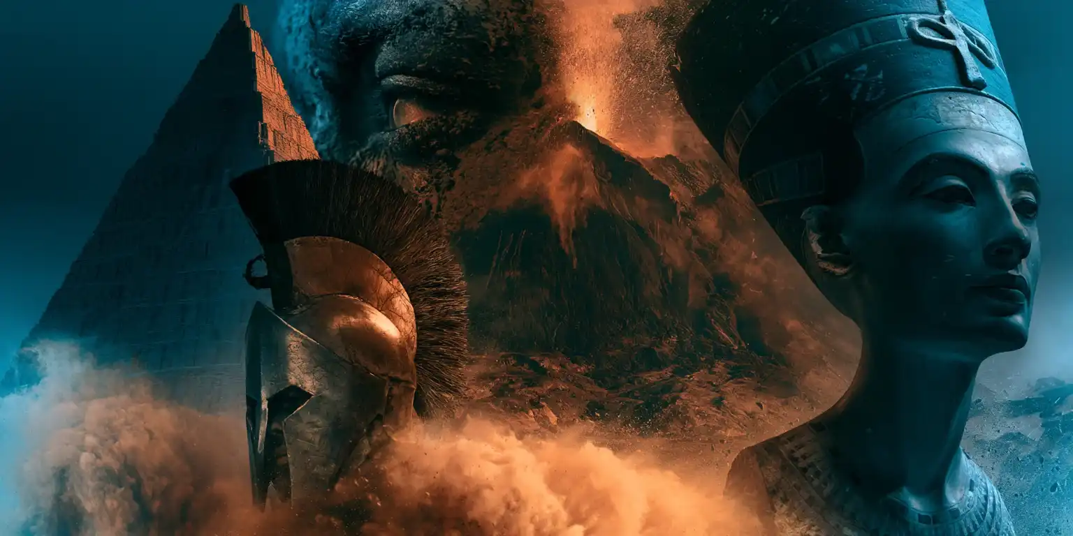


Whispers of Atlantis ● Book 5 of 7 ● Also in paperback
Lost cities. Buried armies. Ancient secrets. Seven thrilling tales where fact meets fiction.
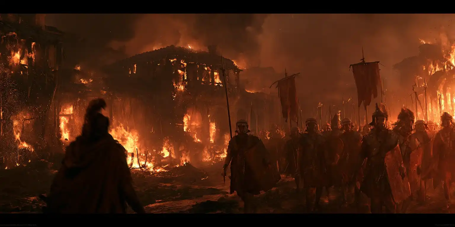
The Curse of Ammon★★★★★
Some Seek Glory. Some Riches. But One Seeks Revenge.
When the insolent priests of Ammon refuse to recognize him as Pharaoh, the enraged Persian emperor Cambyses dispatches fifty thousand men to burn their revered temple. Some plot for riches, some plot for glory—but all are about to find that the swirling sands of the desert are not the only thing in their path to plunder.


About the Author
Jay Penner's highly-rated books regularly feature Amazon's category bestseller lists. Try his Spartacus,Cleopatra,Whispers of Atlantis,Hannibal orDark Shadows books.
